 New Hall Farm
.
New Hall Farm
.
|
|
New Hall Farm
.
|
|
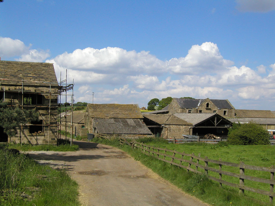
| General view
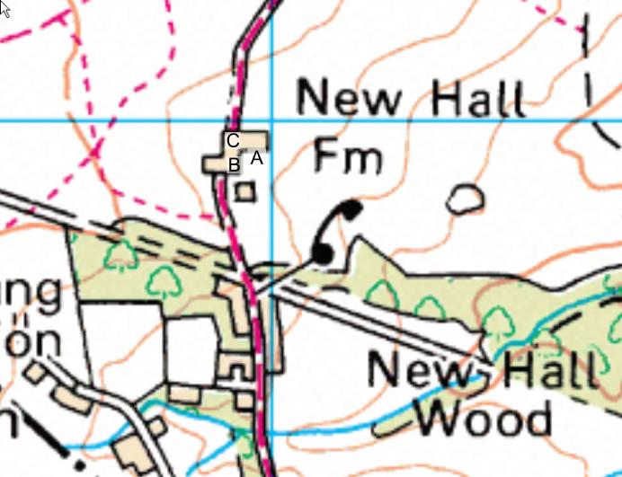
of the farm looking North along the lane There is a stone building being renovated on the left of the picture which is the part shown to the left of B on the map. The main farm buildings to the right comprise a barn dated 1860 and later additions and extensions rather run down. The manor moat is to the right, out of view. The original manor is one granted to Sir William de Miggeley by Edward III and was probably permitted at this time to have a moated house to defend itself from the scottish invaders. It was probably settled by migrants from Normandy in the late 1100's for the name Midgley does not appear here in the Domesday Book but later in 1200. |
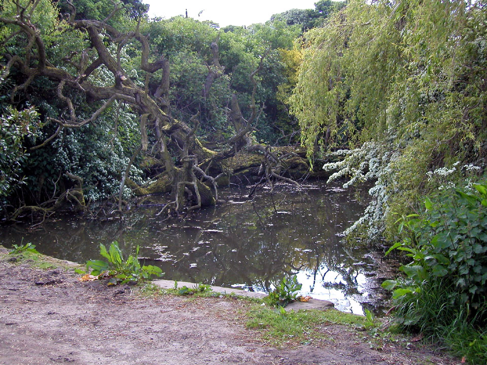
Little Pond
Looking South-West from point C on the map. The laneway appears to be in the foreground. |
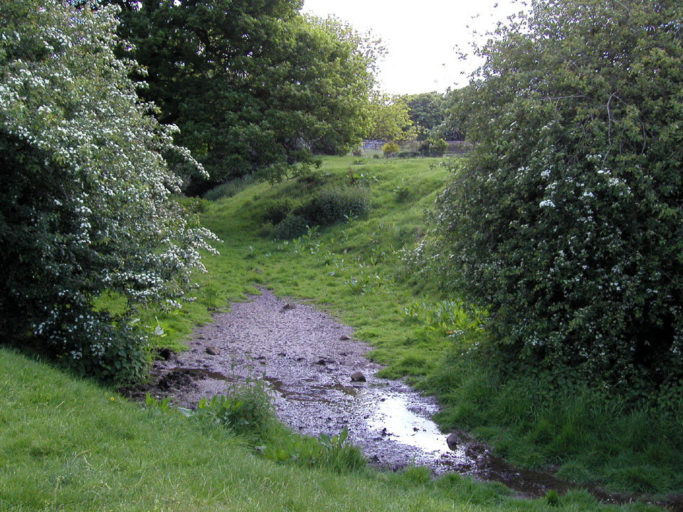
| Moat view 1 Looking East from point B on the map showing the manor moat, now a ditch partly filled with water.A glint of water can be seen through the trees. |
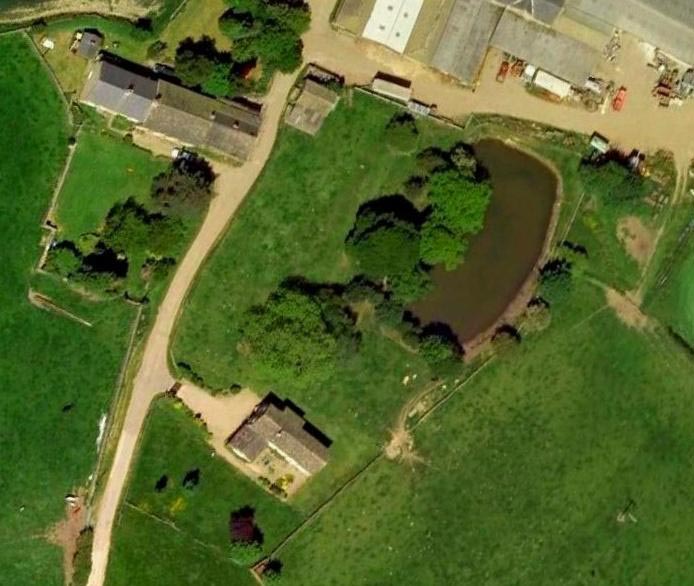
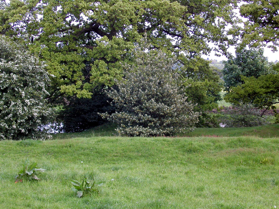
Big Pond
A more recent body of water, the modern house in the photograph appears as a square shape on the map above. This pond appears to have at one time been part of the moat. |
| Moat view 2
An enlarged part of moat 1 photographed from the raised manor site and moat hidden amongst the hawthorn bushes and oak trees. |
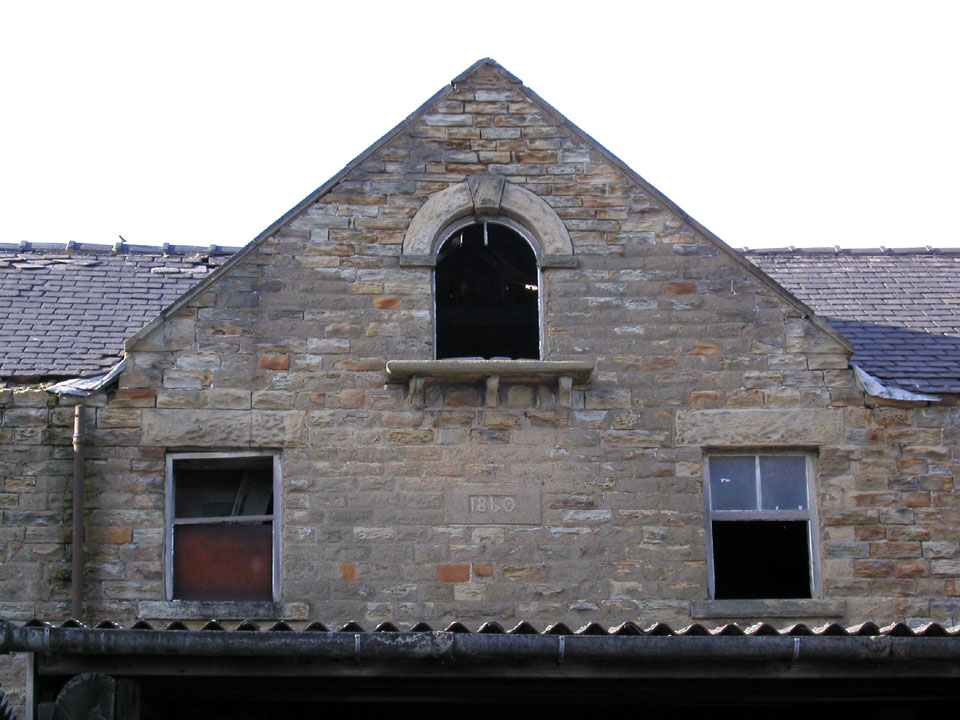
Main farm
building A substantial stone barn dated 1860. Photograph taken from position A looking North. |
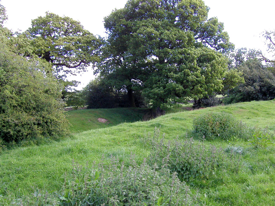
| Moat view 3 Taken a from a point a little West of point A on the map and looking South. The big pond is out of view to the left and the lane is to the right of the photograph |
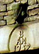
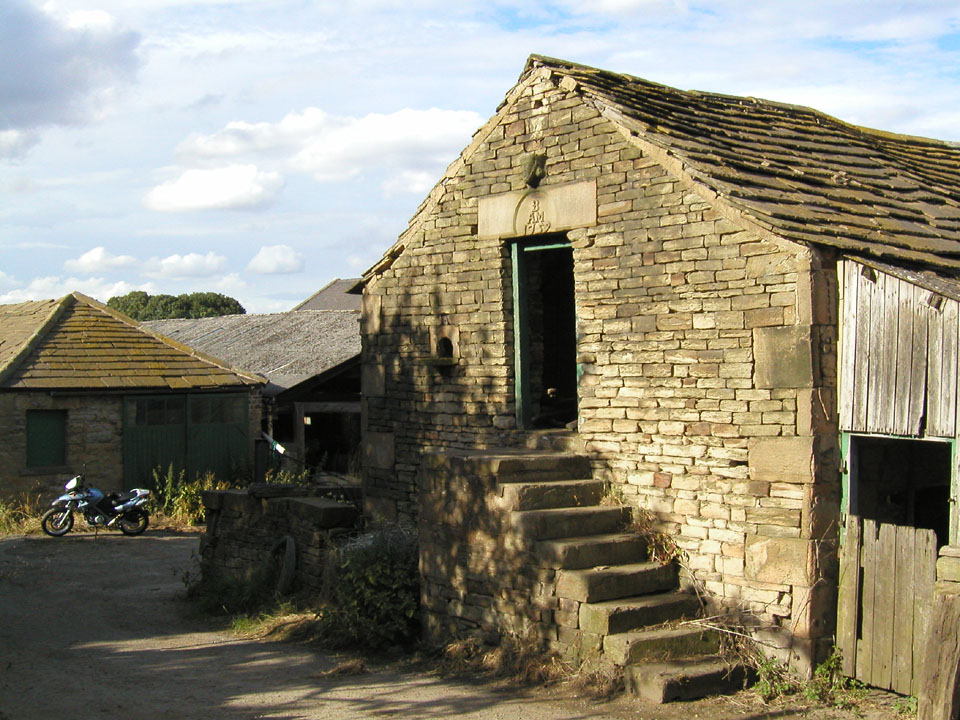
Smaller
farm building This has a bearded figurehead, the initials of the owner B.A.M. and is dated 1759, four years after [Capt.] James Cook of Marton, Yorkshire joined the navy! A solid stone construction with a pigeon or dovecote alighting stone and entrance near the door with a flight of stone steps. Photograph taken on the west side of the track or lane opposite B, i.e. standing next to the scaffolded building shown in the general view of the farm, looking North East. |
| Moat view 4 Taken between points A and B on the map looking South-East |
Mud map of the
area click for larger copy 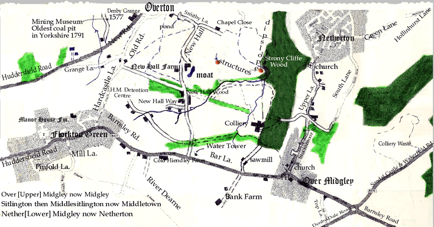
|
From the National Archives [Formerly the Public Record Office] for the
year 1454, a reference to the manor of Newhall:
Indenture: Lease: Nicholas Wortlay [Wortley] Esq of Newhall in Sitlington
and Isabella his wife with consent of John Banester tenant, to John Catlyn,
mason, tenement and lands in manor of Newhall and Miggelay at 4 marks p.a.
for 40 years. [TNA DD/SR/209/88 1454]
The the O.S. map, photographs and information were kindly provided by Rick
Sterry.
Link Pages -Barnsley Dearne and Dove
Canals- see the events section
-Rick''s Homepage